About the FEAST software
The FEAST software is a prototype tool that is being designed and developed to support the process of assessing farmland landscapes with respect to their potential effects on ecosystem services and biodiversity. The tool integrates a range of indicators (metrics) from several European projects including:
2020-2025
The FRAMEwork project: Farmers clusters for realising agrobiodiversity management across ecosystems, funded by European Union's Horizon 2020 research and innovation programme under grant agreement No. 862731.
2016-2017
The Quantification of Ecological Services for Sustainable Agriculture (QuESSA) project, funded by FP7 (Project No 31187).
2014-2019
The Ecological Focus Areas (EFAs) Calculator project, funded by the European Commission's Joint Research Centre (JRC), Ispra, Italy (Project Ref: JRC/IPR/2014/H.4/0022/NC).
A core part of the FEAST software was initially developed for the EFA Calculator project. This contained qualitative and semi-quantitative metrics to assess the potential impact of different features (defined as EFAs under the CAP) on ecosystem services and biodiversity. This software was then extended to incorporate the outputs of the QuESSA project, which included several metrics that quantified ecosystem services. Most recently, the FEAST software was developed to meet the needs of the FRAMEwork project. This included harmonising and extending the indicators for ecosystem services and biodiversity; and developing functions to support the work undertaken in farmer clusters, including accounting for landscape configuration and habitat complementation.
The software has been developed by the Agriculture and Environment Research Unit (AERU), at the University of Hertfordshire in the UK.
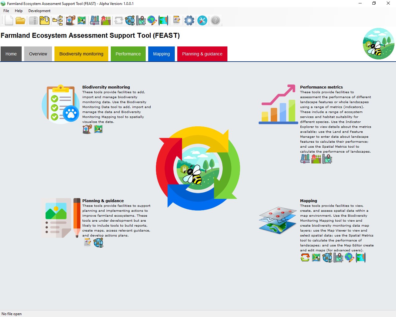
Functions
The main functions of the FEAST software are outlined below, along with a short video (16 mins) explaining the concept and context of the tool.
Biodiversity monitoring
Use the Biodiversity Monitoring Data tool to add, import and manage the data and Mapping tool to spatially visualise the data.
Performance assessment
Assess the performance of landscape features or whole landscapes for ecosystem services and habitat suitability (incl. spatial metrics within the map interface).
Mapping
View, create, edit, and assess data within the map interface, including biodiversity monitoring data and metrics to calculate the performance of landscapes.
Planning and guidance
Facilities to support planning and actions to improve farmland ecosystems. Tools to build reports, create maps, access relevant guidance, and develop actions plans.
Overview video:
Facts
The FEAST software consists of indicators to assess landscape features, using parameters and classes to describe the attributes of those features. These are being added to all the time. The current statistics are shown below.
Indicators
Landscape features
Parameters
Parameter classes
Download
FEAST software is a Windows application, designed to work on Windows 10 or higher. Click on the link below to download the zip file, then extract the files, run the setup.exe file and follow the on-screen instructions.
For a detailed installation guide please view the video on the support page.
Note: The mapping interfaces within the FEAST application utilise a third party control called MapWinGIS. This must be installed for the FEAST software to work. If you experience an error that stops FEAST from starting, please run the MapWinGIS installer again, which can be downloaded here.
If you would like to be notifed via email when updates are released please click here.
An example FEAST project can be downloaded here. Download the zip file and then use the unzip tool within FEAST to extract and open the project. FEAST demo file:
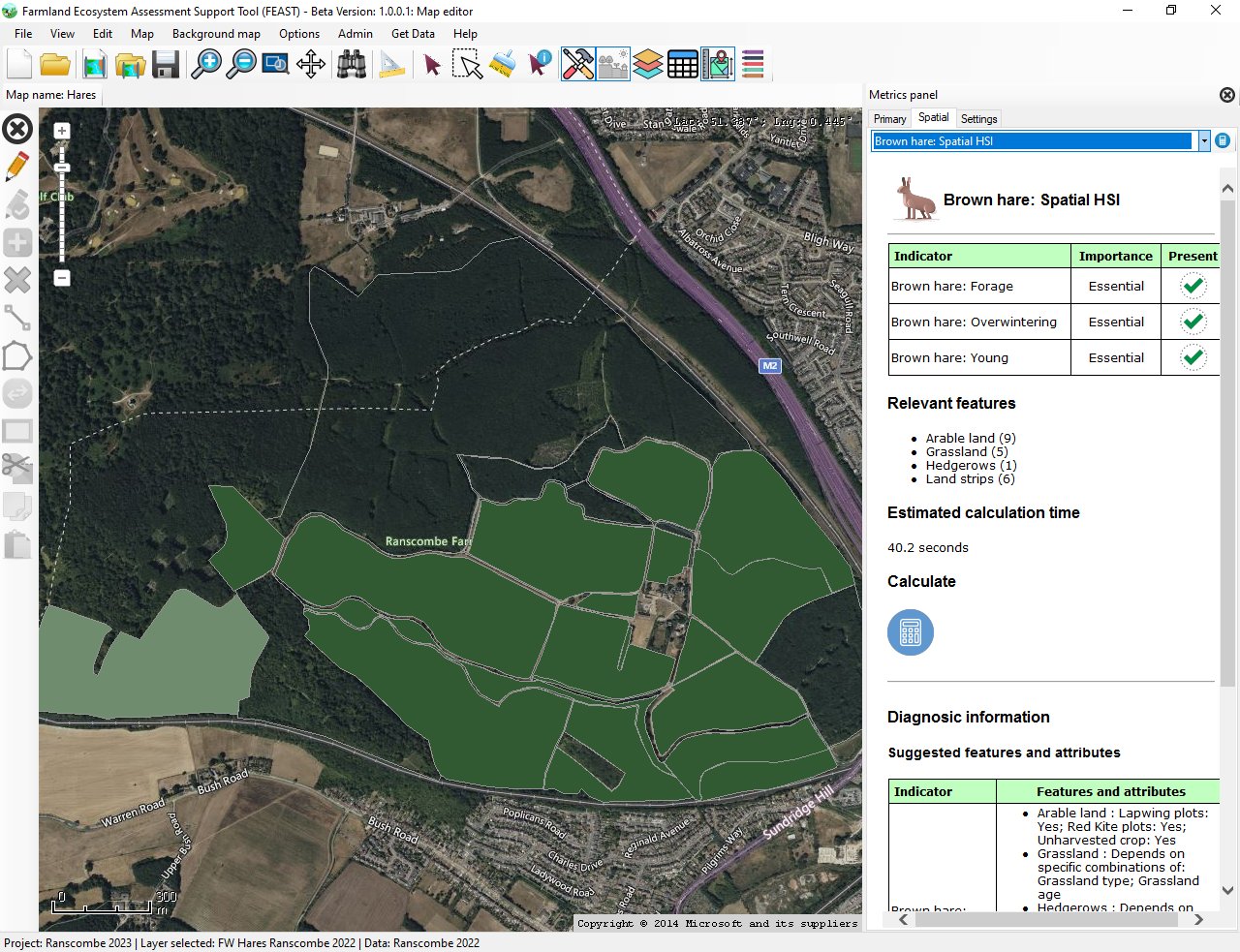
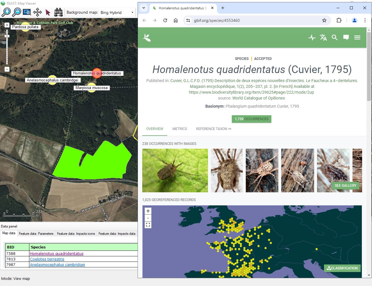
Gallery
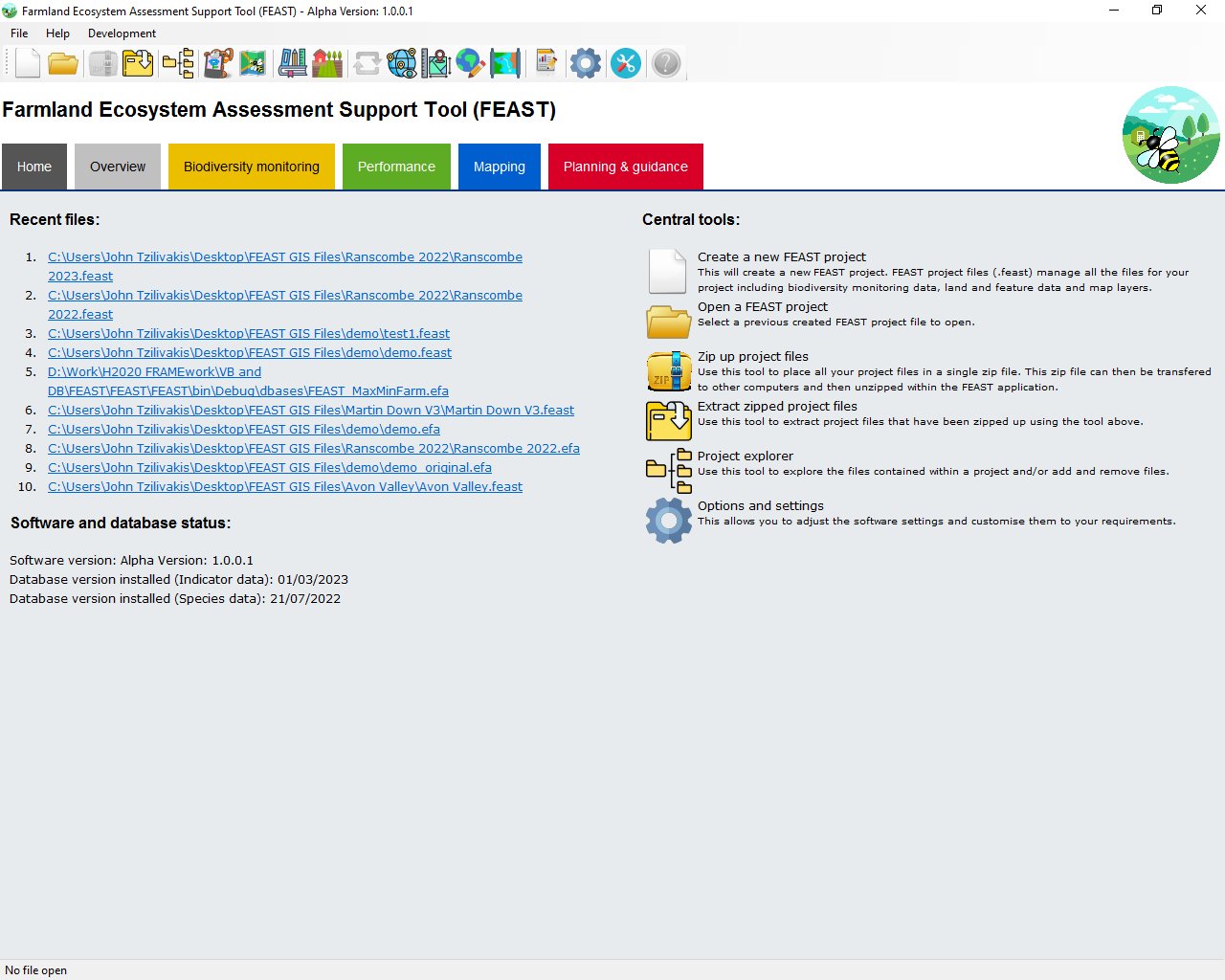
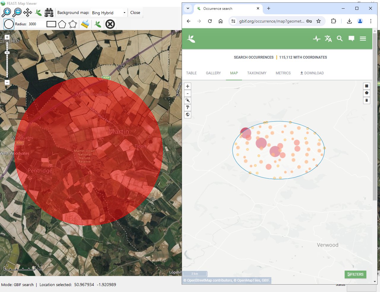
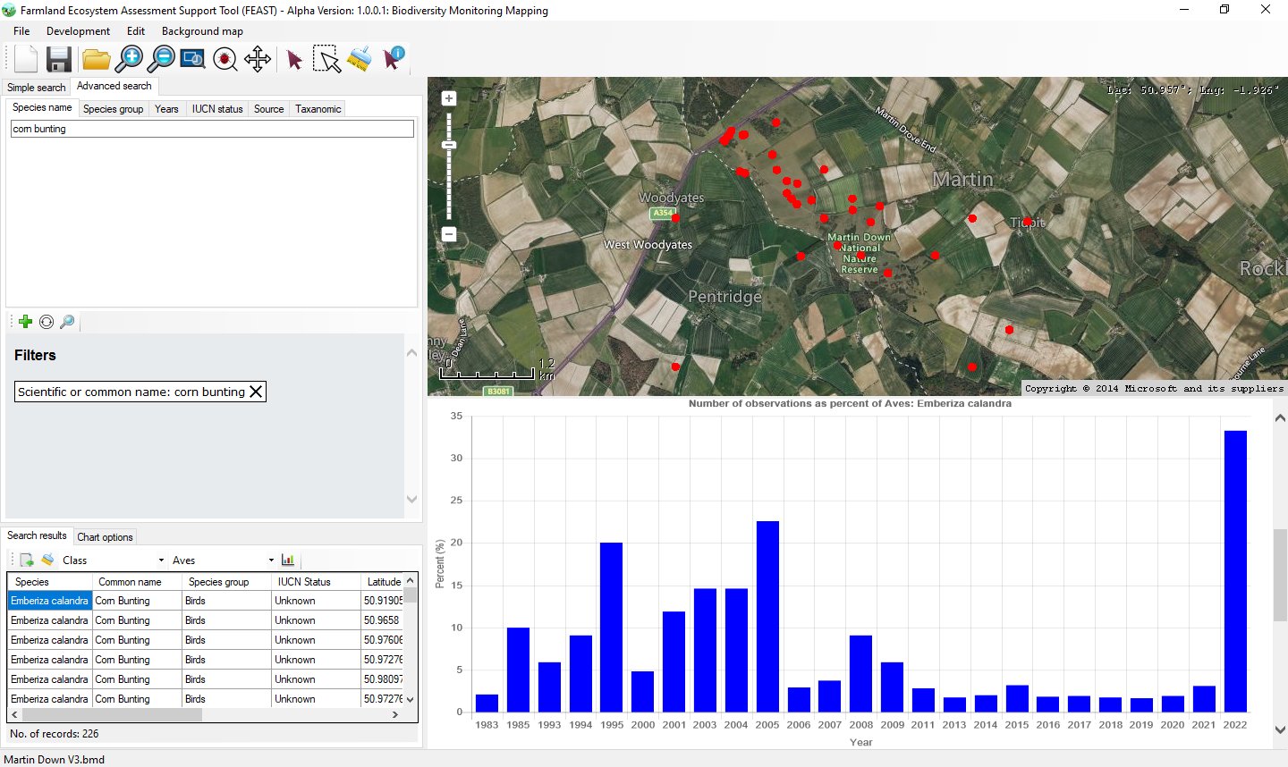
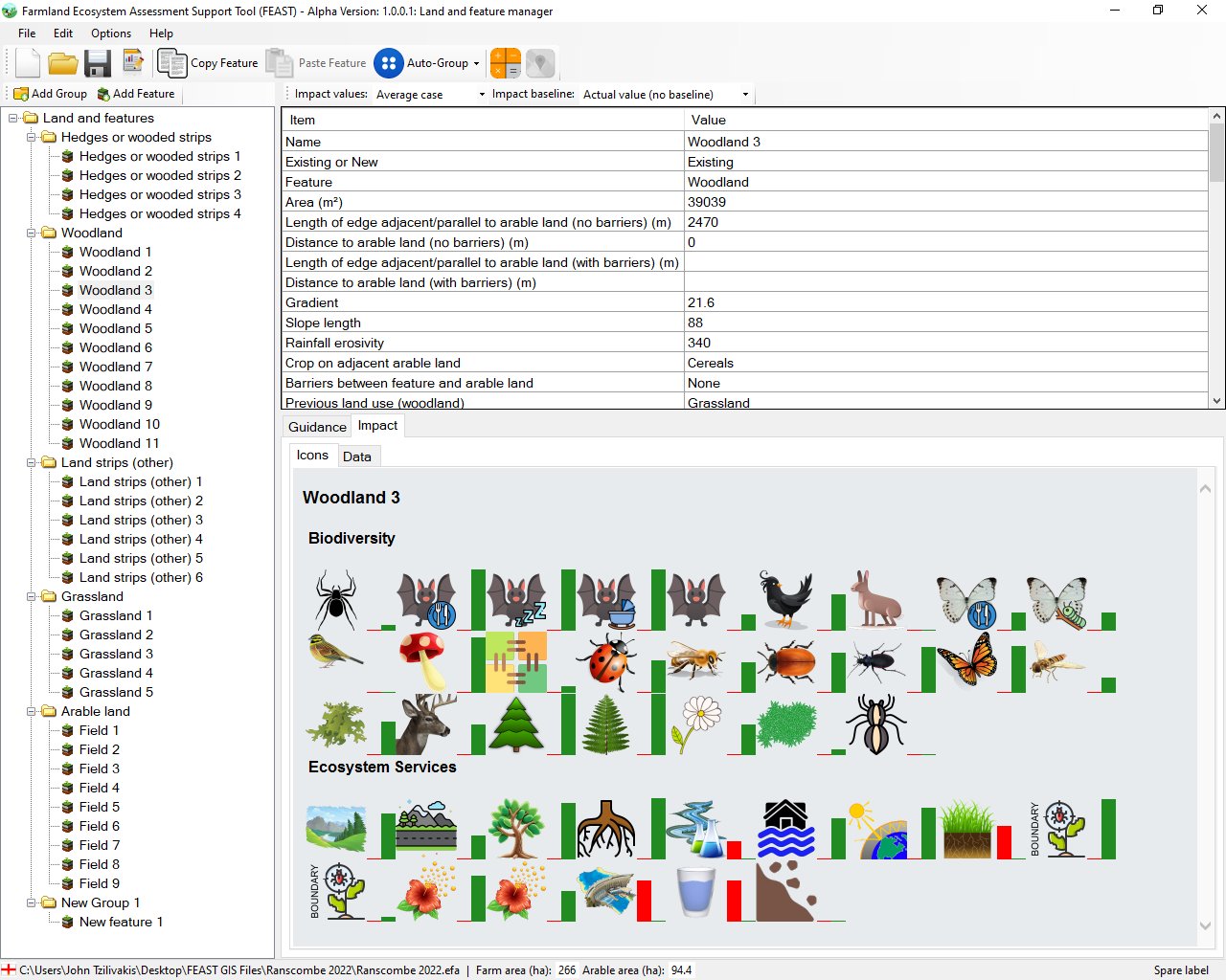
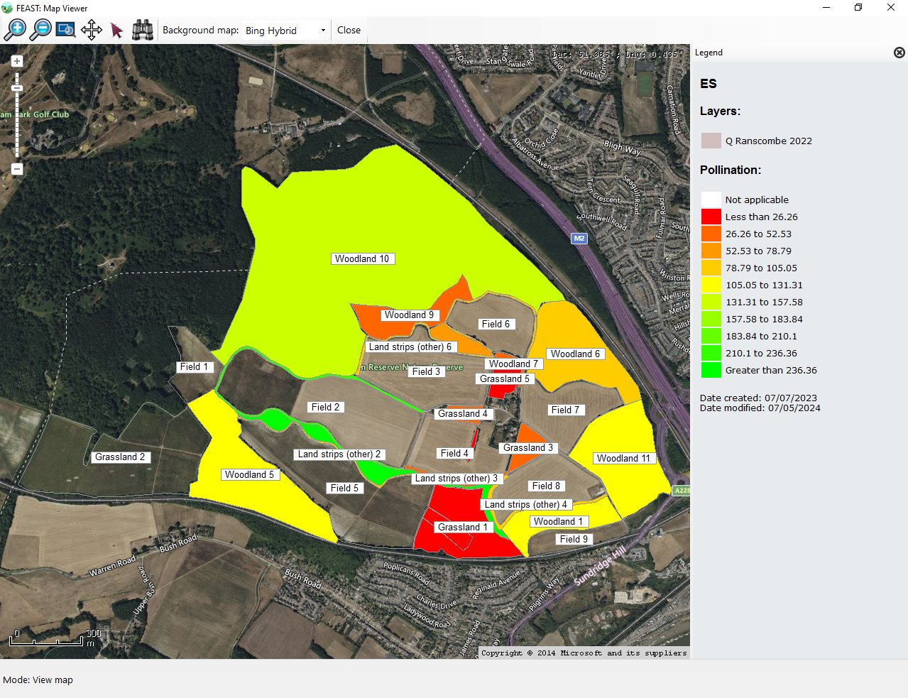
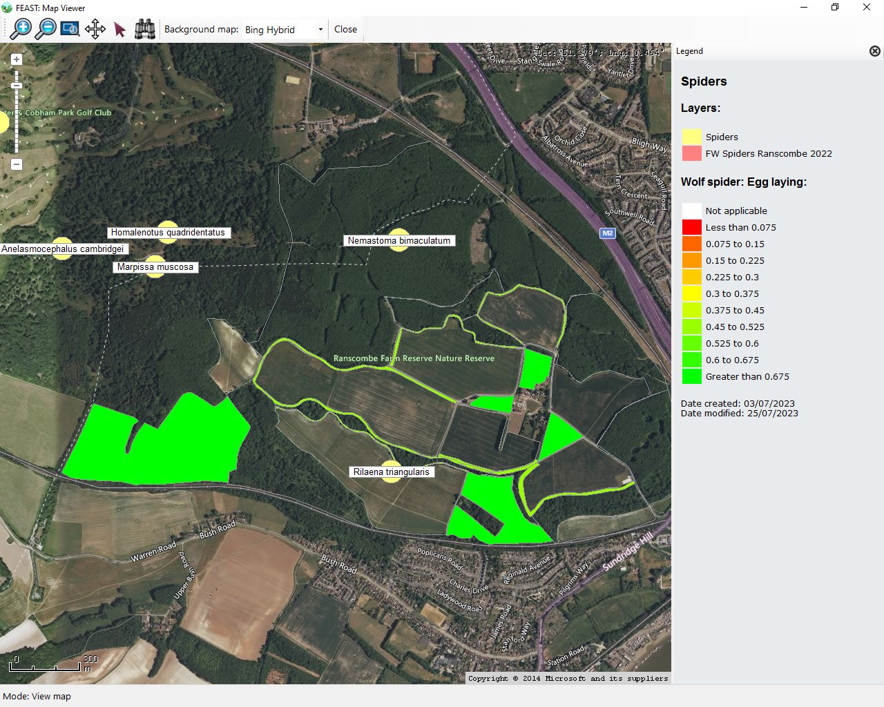
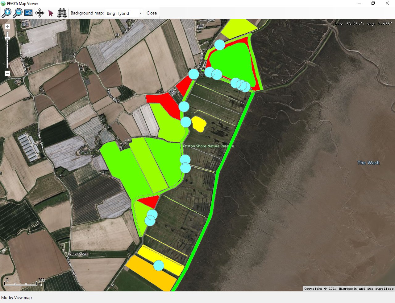
Some example screen shots of the FEAST software are shown below (the list displayed can be adjusted using the filters below). Click of the + icon to enlarge any image.
- All
- General
- Biodiversity monitoring
- Performance
- Mapping
- Planning & Guidance
Team
The team involved in the development of the FEAST software are shown below.

Dr John Tzilivakis BSc MSc PhD PIEMA MIAP
System design and development
Dr Doug Warner BSc MSc PhD PIEMA FHEA
Agroecology lead
Prof. Kathy Lewis BSc PhD FIAP MIEMA
Project management
Dr Andy Green BSc PgCert MSc PhD CEnv MIEMA FHEA
Agroecology support
Dr Jemma Taylor BSc PhD MRSB
Agroecology supportContact
AERU, School of Life and Medical Sciences, University of Hertfordshire, College Lane, Hatfield, Hertfordshire. AL10 9AB. United Kingdom